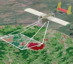
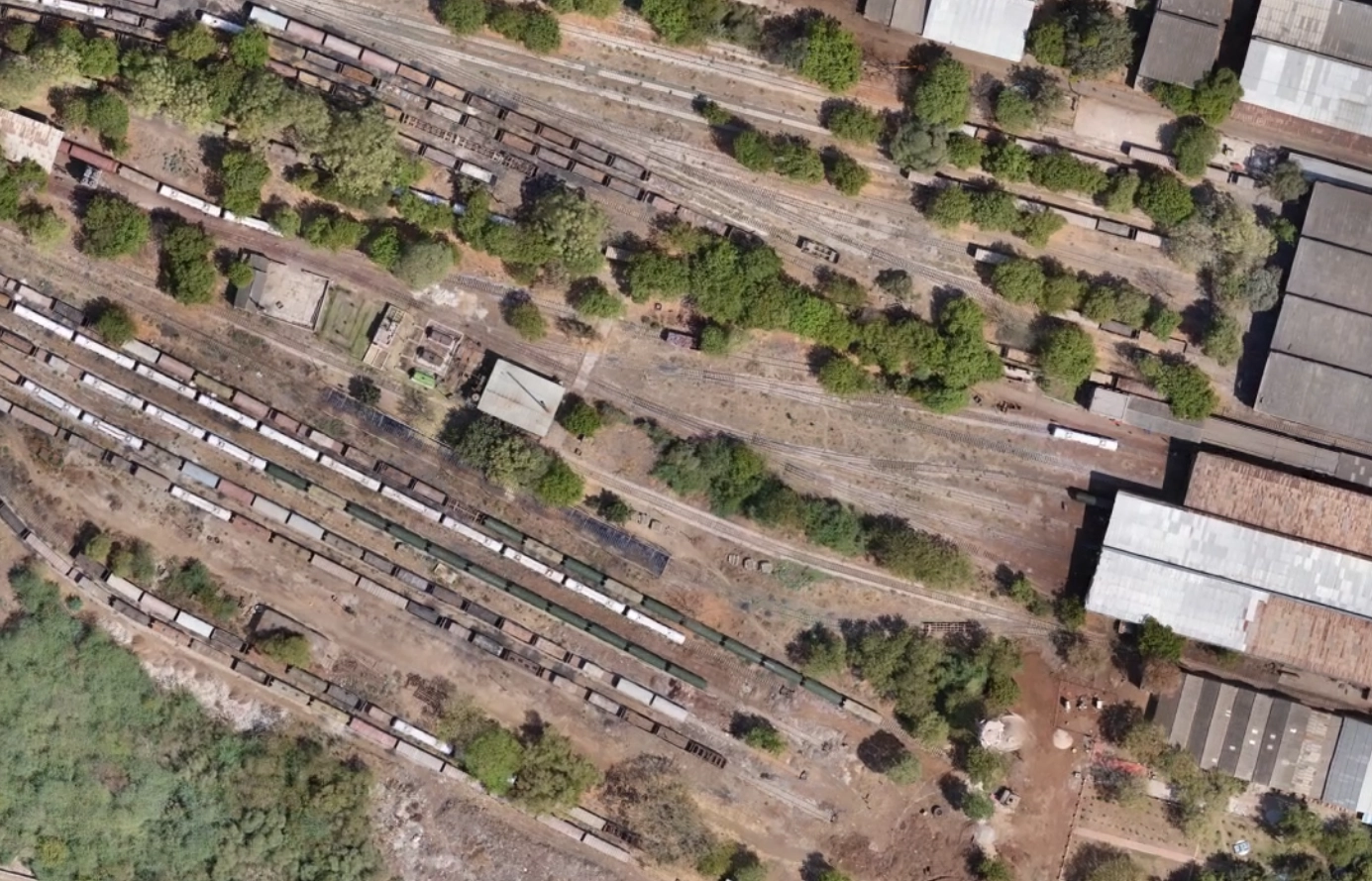
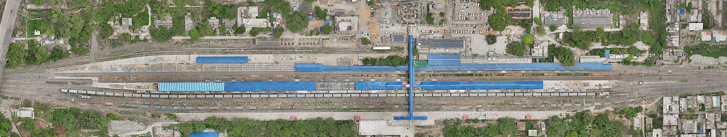
Surveying and Mapping
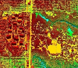
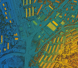
Our UAV technology, equipped with high-resolution cameras and LiDAR sensors, can quickly and accurately survey large stretches of railway lines. This data is used to create detailed maps and 3D models of the terrain, which are essential for planning new routes or upgrading existing ones. Our drone services unite with DGPS data that provides precise location data, which is essential for creating accurate maps and models of the railway infrastructure. This detailed information helps engineers design and plan the railway routes, including curves, gradients, and intersections, with greater accuracy.
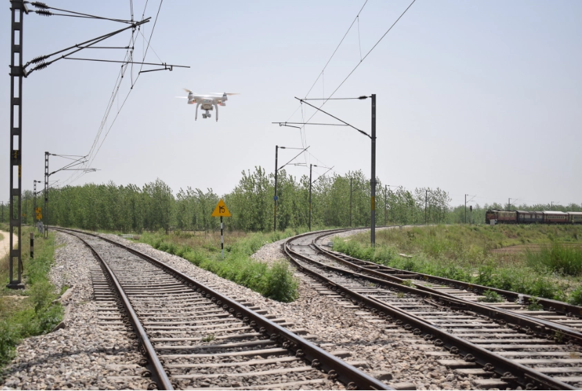
Enhanced Accuracy
We offer drone data integrated with DGPS, which enhances GPS positional accuracy by correcting standard GPS errors. This high precision is essential for railway planning, where exact measurements are crucial. Accurate track alignment, precise station placement, and effective design of other critical components rely on this level of detail. Combining drone imagery with DGPS ensures that railway infrastructure is meticulously planned and constructed, minimizing errors and ensuring safety and efficiency. This integration provides the accurate, real-time data needed for optimal decision-making and successful railway project execution.
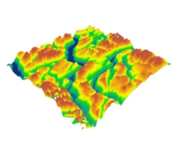
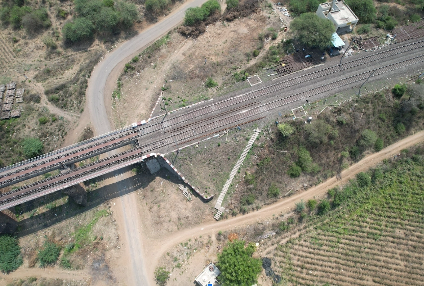
Alignment and Layout
In railway engineering, precise track alignment is crucial for safety and efficiency. Our DGPS data provides high-precision measurements, ensuring that new track routes and adjustments to existing ones are executed accurately. This advanced technology minimizes errors and reduces the need for costly adjustments, contributing to smoother construction and reliable operations. By integrating DGPS data, we ensure that every aspect of track alignment meets stringent standards, enhancing overall performance and safety in railway projects.
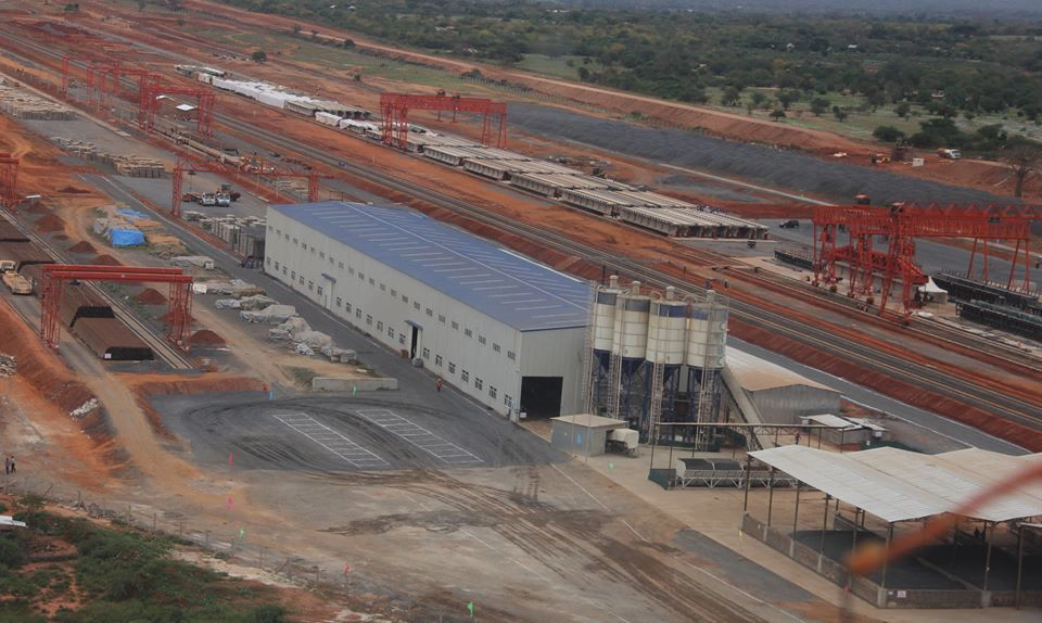
Construction Monitoring
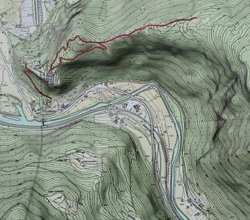
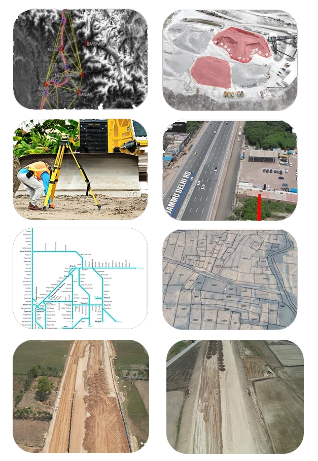
During construction projects, we provide real-time monitoring of progress, helping engineers ensure that projects stay on schedule and within budget. Aerial imagery and videos can be used to compare the current state of construction with project plans and timelines.Our DGPS data can be used to monitor the positioning of structures such as bridges, tunnels, and tracks. This ensures that construction adheres to the planned specifications and helps in detecting deviations early, which can be corrected promptly.
Data Integration
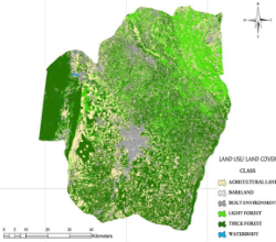
Integrating DGPS and drone data with Geographic Information Systems (GIS) provides a powerful tool for railway planning. By combining precise DGPS measurements and detailed drone imagery with other geographic and engineering data, GIS enables comprehensive analysis. This integration enhances route planning, allows for thorough environmental impact assessments, and supports efficient logistical management. The ability to visualize and analyze all relevant data in one system improves decision-making, leading to more accurate and effective railway project outcomes. This holistic approach ensures better planning and execution, addressing various factors and optimizing overall project success.