UAV Services In Water Resources
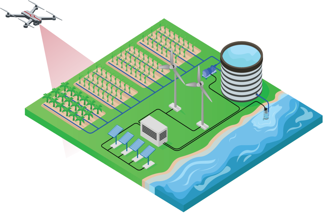
We offer drone services to monitor natural water resources like rivers and lakes.
At , Datapkt we deliver high-quality videos and photographs that enhance the visualization and inspection of water resources. Our advanced drone technology captures detailed imagery, providing a clear and comprehensive view of water bodies, irrigation systems, and related infrastructure. These visuals aid in identifying issues such as erosion, sediment buildup, and vegetation encroachment. By offering precise and up-to-date visual data, we support effective decision-making and maintenance planning. Our services are invaluable for environmental monitoring, project documentation, and stakeholder communication.
We provide airborne data for river restoration projects, which can be useful in numerous aspects of planning, implementation, and monitoring. Here are a few services where we use this data:
Aerial Surveys and Mapping
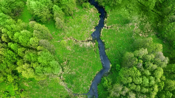
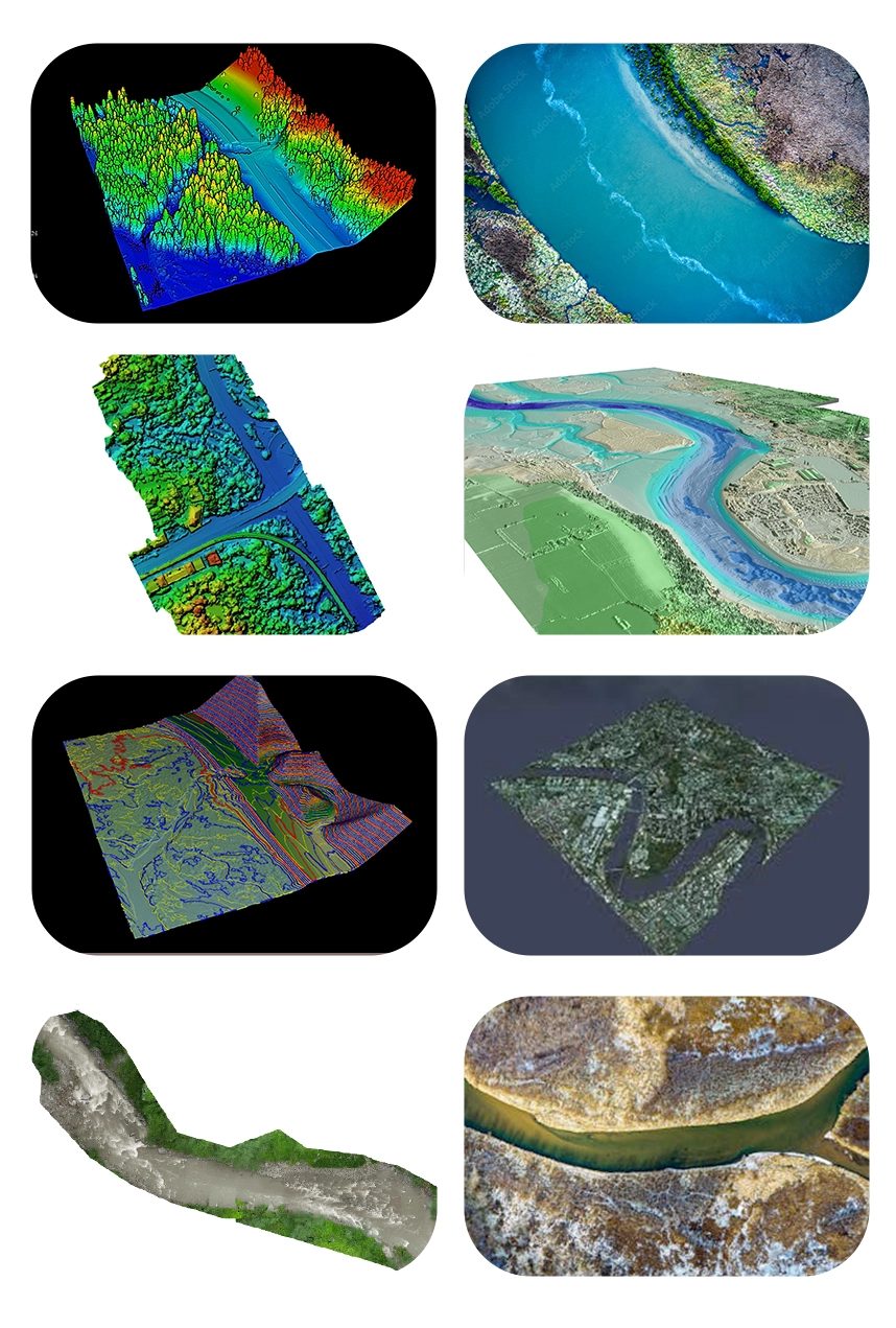
Our drones services with high-resolution cameras and LiDAR sensors can collect precise aerial photography and elevation data along river routes. This data can be used to construct precise topographic maps, detect areas of erosion and sedimentation, and evaluate the overall health of the river ecosystem.
Watershed area management
Our services for watershed project management include runoff estimates and water tables that are spatiotemporally correct. This integrates with complete 3D models (survey and mapping) that analyze riverbank migration, erosion, and wetland state (regression or development).
Drones are able to complete tasks such as accurate planning and surveying of all construction, as well as the first mapping of drainage lines and contours. They provide more assistance in slope analysis. This is all integrated with GIS and real-time weather data to forecast the amount of water that can be effectively gathered and used.
Bathymetric mapping
We provide bathymetric mapping to calculate the depths and volumes of rivers, lakes, and other water bodies. A bathymetric LiDAR sensor converts sound into image format.
Hydrological Analysis
We offer aerial data that can be used to collect information about water flow, sediment transport, and erosion patterns in river channels. This information assists our technical team in understanding the dynamics of the river system and developing successful restoration plans to improve flow regimes and sediment balance.
Monitoring of Vegetation
Our drone services coupled with multispectral or hyperspectral sensors are able to evaluate the distribution and health of the vegetation along riverbanks. We monitor shifts in the amount of vegetation cover that can reveal information about the health of the ecosystem, the condition of the habitat, and possible sites for habitat improvement or restoration.
Sedimentation management
Our aerial data can help with sediment management by tracking the processes of erosion and deposition of silt in river channels. With this data we can determine where sediment removal or redistribution may be required to preserve channel stability and aquatic habitat by routinely surveying places where sediment accumulates.
Assessment of Habitat
We provide survey and map riparian habitats, wetlands, and other critical habitat types along the river corridor.. By using this data, restoration activities to improve ecosystem resilience and biodiversity can be prioritized in areas with deteriorating habitat conditions.
Real-time monitoring allows for timely adjustments and maintenance to prevent further erosion and habitat degradation.
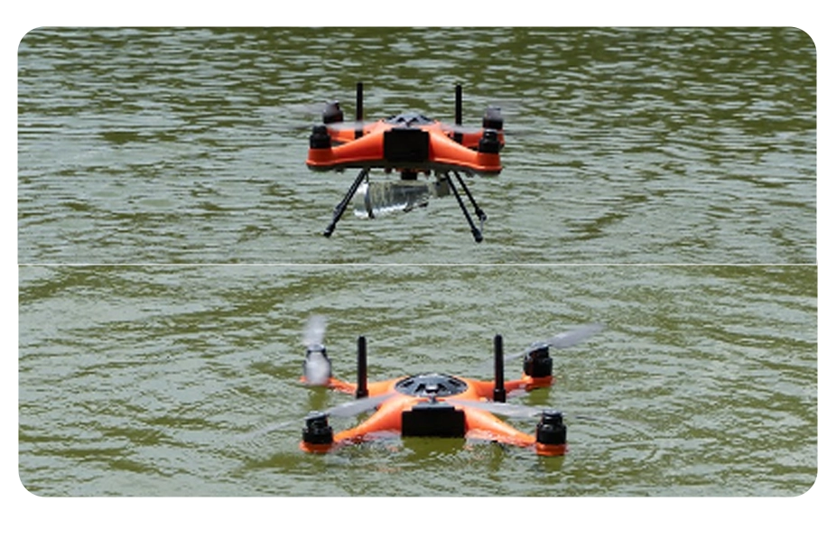
Our drone services with modern sensors, collect information about water quality characteristics such as pH, temperature, turbidity,chlorophyll-a and oxygen levels. We can track the growth of aquatic vegetation, detect erosion on riverbanks, and evaluate the impact of human activities on the environment and wildlife. This useful information can assist in identifying any changes or potential risks to the ecosystem and taking appropriate action.
We also collect water samples from remote regions. This is especially important for water utilities that cover wide areas or serve rural communities. By utilizing cutting-edge devices, we can safeguard the health and safety of both our water sources and the people in charge of their maintenance.
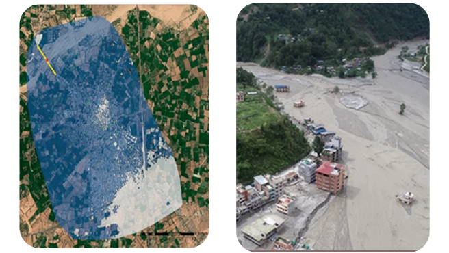
In our services drones equipped with high-resolution cameras can capture detailed images of flood-affected areas, which can be used to create maps and 3D models of the flood zone.
These maps and models can help water utilities to identify areas that are at risk of flooding and prioritize their response efforts accordingly.
Real-time data can help emergency responders prioritize response efforts and allocate resources more effectively during flood events. We quickly assess the extent of flood damage, identify areas that are at risk of flooding, and monitor water levels in real-time.
This information can help water utilities to make informed decisions about deploying resources and personnel to areas that need the most help.
With specialized knowledge and experience in hydrology, we understand the importance of accurate water resource management.
Our team of hydrologists and drone pilots collaborates to provide comprehensive monitoring solutions for rivers, lakes, reservoirs, and watersheds
Equipped with state-of-the-art drones and sensors, we offer advanced capabilities for water resource monitoring and analysis.
Our drones can capture high-resolution imagery, thermal data, and multispectral images, providing valuable insights into water quality, flow patterns, and vegetation health.
By utilizing drones for water resource monitoring, we offer efficient and cost-effective solutions compared to traditional methods.
Our drone services minimize the need for manual labor and expensive equipment, reducing operational costs and maximizing ROI for our clients.
We are committed to environmental stewardship and sustainability in water resource management.
Our drone-based monitoring solutions help identify and address environmental concerns such as pollution, erosion, and habitat degradation, contributing to the preservation and conservation of water resources for future generations.